We use cookies on this site to enhance your user experience. If you continue to browse, you accept the use of cookies on our site. See our cookies policy for more information.
Yoron Island route
※The yellow-green part of the map is an easy-to-run course for beginners
Course data
| Departure and arrival point | Starting point: Kikai airport, Ending point: Kikai airport |
| Mileage | 22.3km |
| Elevation gain | 223m |
Stopover spot & gourmet information
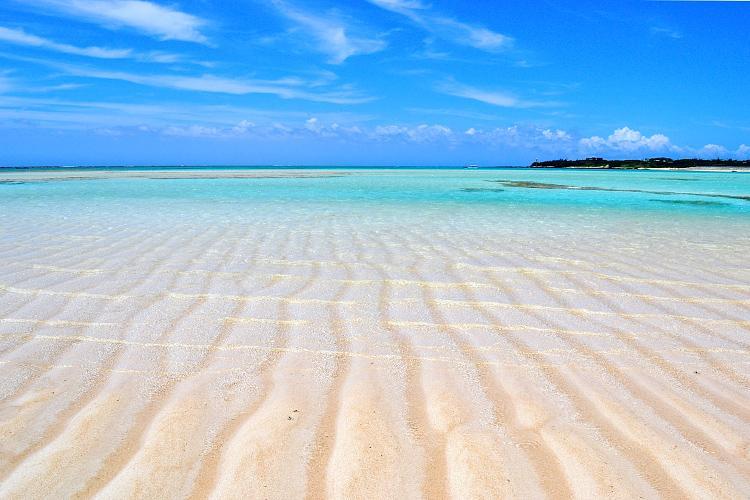
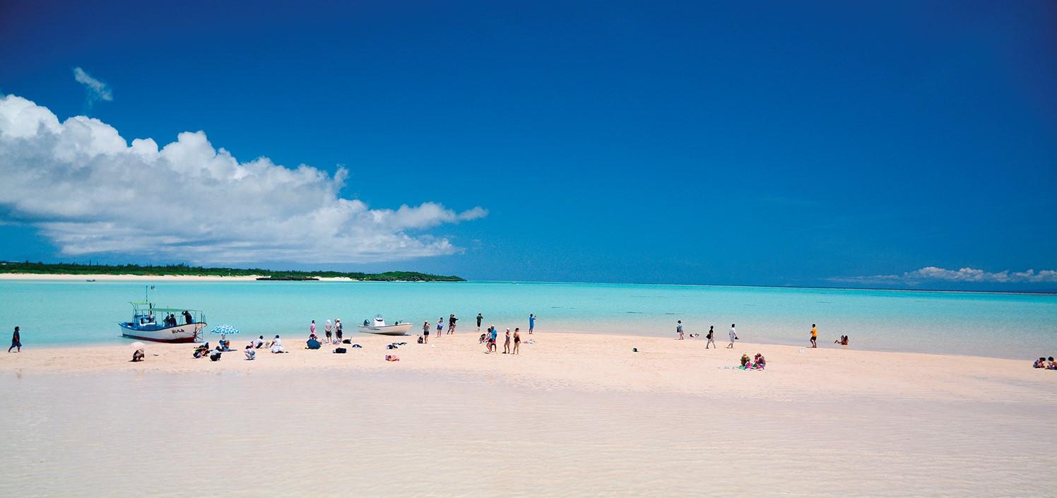
Yurigahama Beach
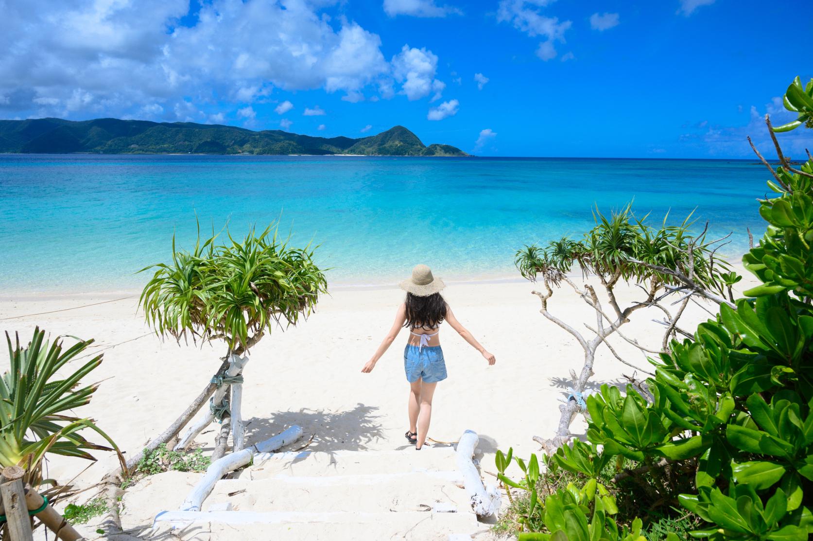
Approximately 1.5km offshore from Oganeku Beach, it appears during spring and summer low tides, usually from spring to summer. Depending on the day, they appear at different times, in different positions, and in different sizes. The white sands of Yurigahama Beach and the emerald green color of the sea are truly a paradise on earth.
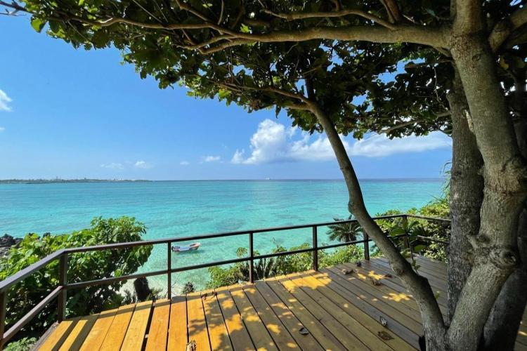
B&G Marine Center
If you want to thoroughly enjoy the sea, this is recommended. You can go snorkeling, paddle a canoe or board yourself, or enjoy water bikes and jet skis. Since instructors are stationed, even beginners can use it with confidence.
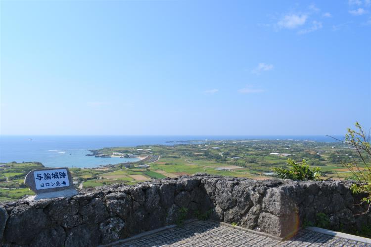
Yoron Castle Ruins
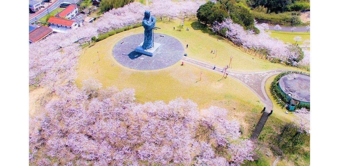
Around 1405-1416, the third son of King Hokuzan of Ryukyu (Oushan) built the castle, but it was left unfinished due to the fall of King Hokuzan on the way. The Yoron Juugoya Dance, which is held three times a year on the grounds of the castle ruins, is a nationally designated Important Intangible Folk Cultural Property.
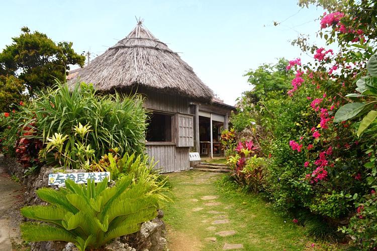
Yoron Folk Village
You can learn deeply about the life and culture of the island at the outdoor folklore museum where old folk houses and folk tools are left as they are. There is also a souvenir corner that sells Yoron Island's traditional foods such as pickled papaya and pork miso, as well as basho cloth products, original polo shirts, and folk crafts.
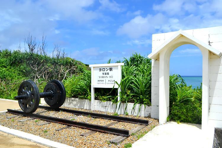
Yoron Station
There is no railway on Yoron Island, but there is a station monument named "Yoron Station". Inside the station, there are wheels on rails about 5 meters long, station name signs, and gates. Free of course
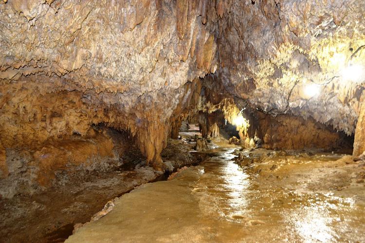
Akasaki Limestone Cave
Yoron Island is an island formed by a raised coral reef. Akasaki Limestone Cave is a sculpture of nature that was created over a long period of time when the ground was eroded by groundwater. (Please refer to the website for business hours, etc.)
Table of contents
Cycle beautiful Kagoshima Top
Where to ride? Recommended cycle routes
01) Nansatsu route (Nansatsu area)
02) North Satsuma Route (Northern Satsuma Area)
03) Koshikishima route (Northern Satsuma area)
04) Sendai River Basin Route (Northern Satsuma Area)
05) Kirishima・Aira route (Kirishima・Aira area)
06) Osumi Route (Osumi Area)
08) Tanegashima Route (Kumage Area)
09) Yakushima route (Kumage area)
10) Amami Oshima route (Oshima area)
11) Kikaijima route (Oshima area)
12) Tokunoshima route (Oshima area)
13) Okinoerabujima route (Oshima area)
14) Yoron Island route (Oshima area)
Cycling information
■ Contact information For inquiries
About cycle tourism, please contact the following
Kagoshima Prefecture Tourism, Culture and Sports Department PR Tourism Division
10-1 Kamoike Shinmachi,
Kagoshima City
Phone: 099-286-3045
Most popular
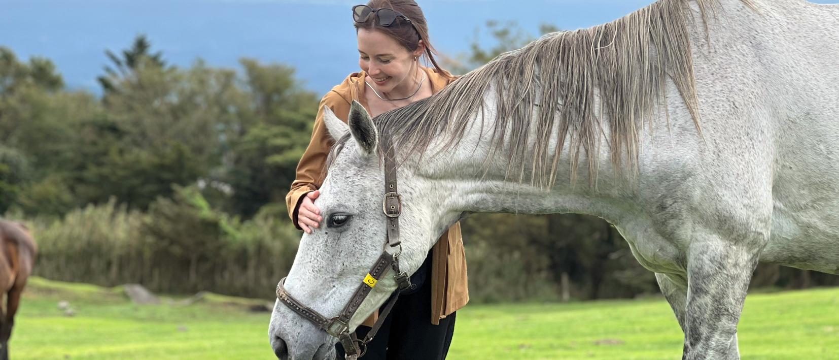
Re-Wild Kagoshima: The ultimate healing experience of interacting with the “Happy Horses”
Now is the time for a bike trip! Cycle beautiful Kagoshima
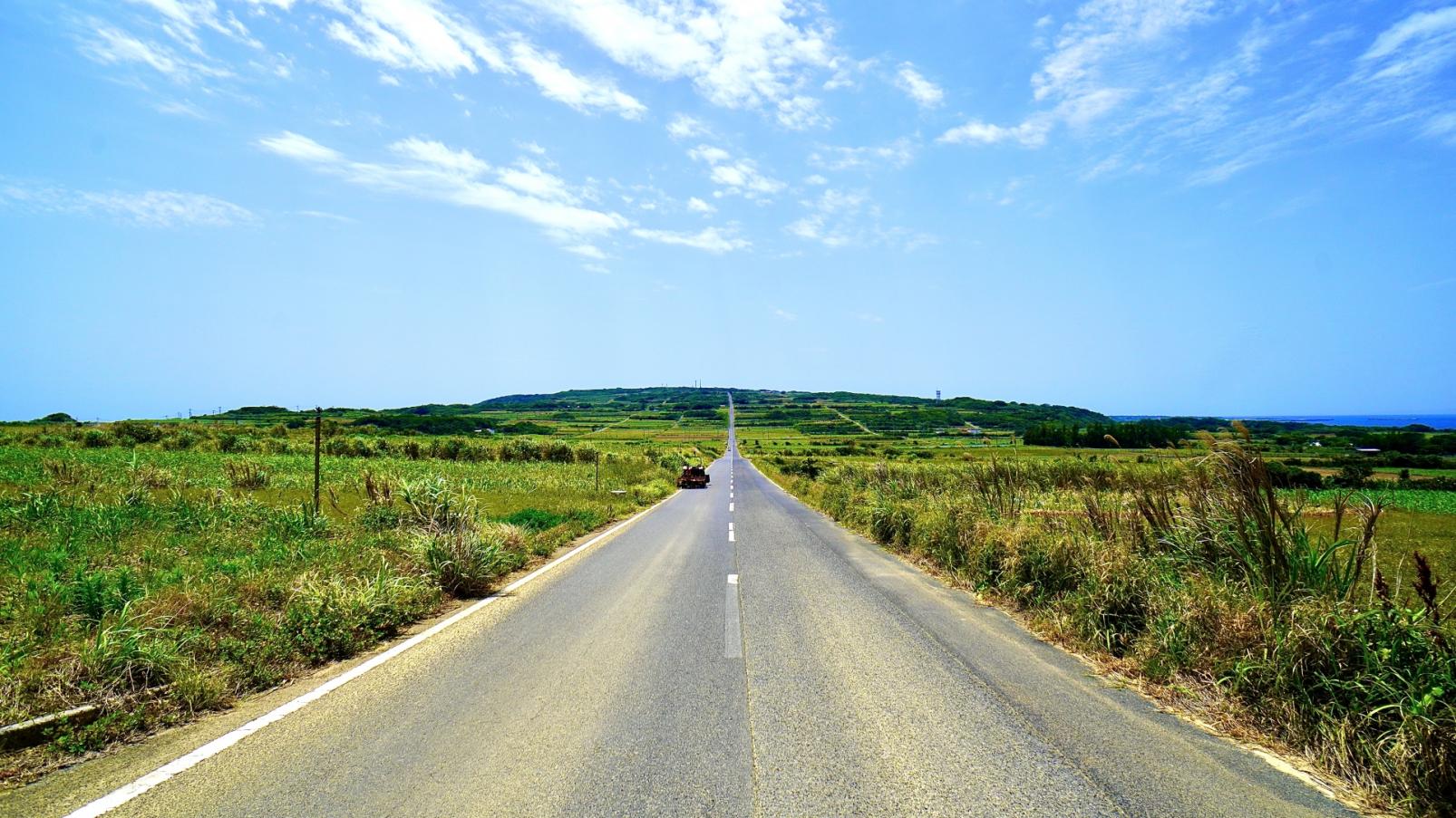
Kikaijima Course, an island where mysterious giant banyan trees and butterflies dance
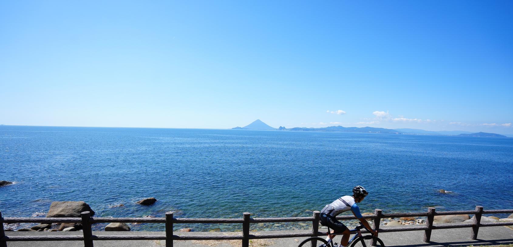
Enjoy Dynamic Nature and Rich Food! Osumi Route
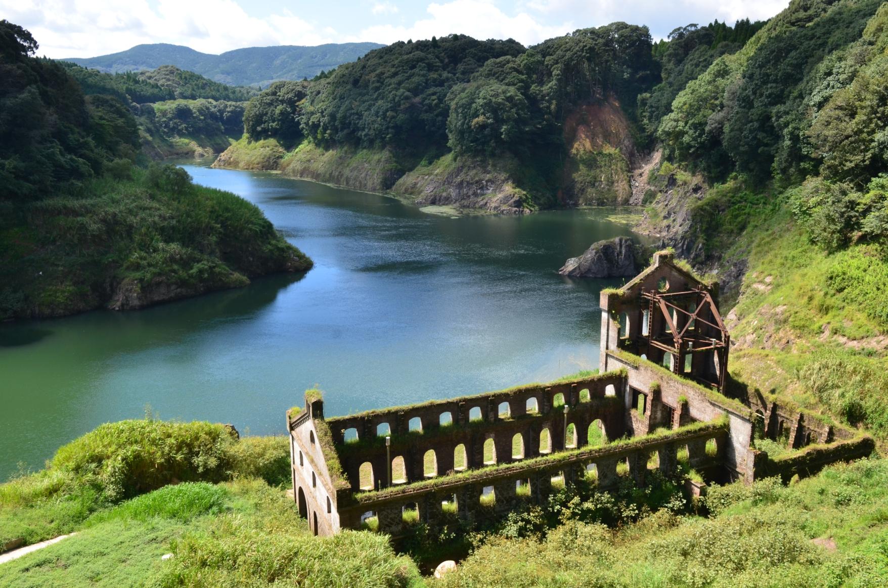
Enjoy the scenery along the river that flows abundantly from the Kirishima Mountains! Sendai River Basin Route


