We use cookies on this site to enhance your user experience. If you continue to browse, you accept the use of cookies on our site. See our cookies policy for more information.
Features of the Yakushima Route
Route features (1)
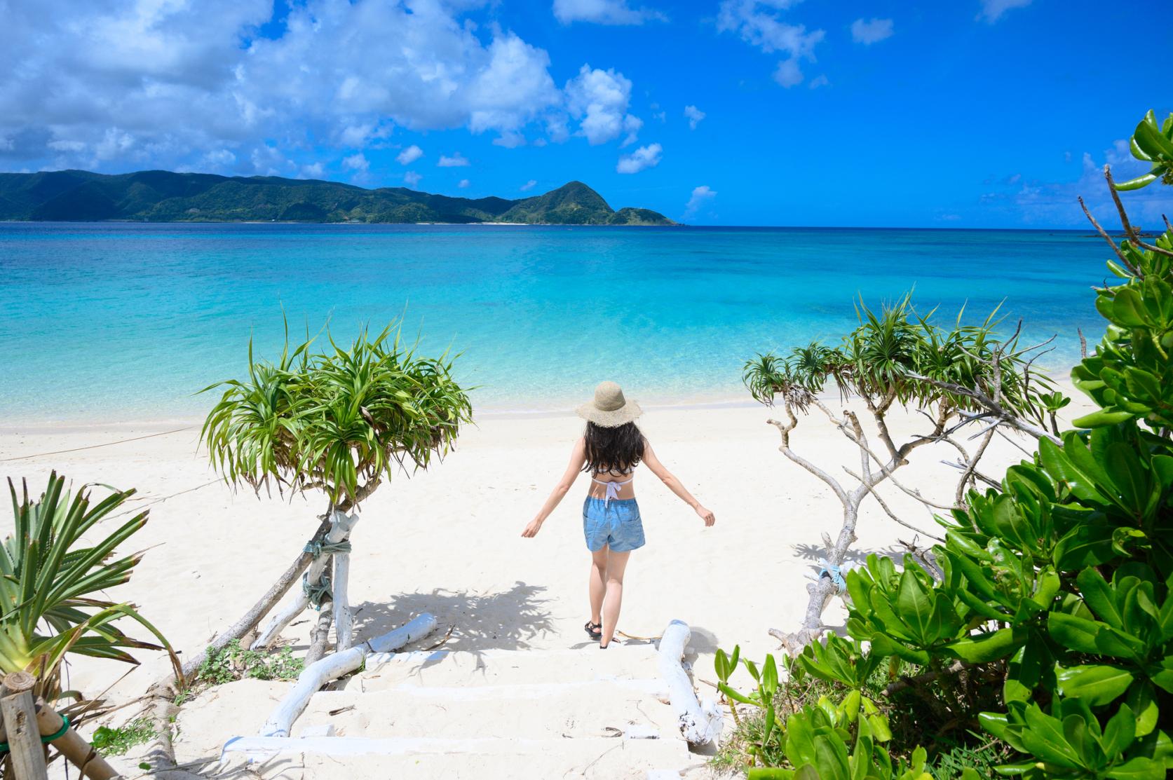
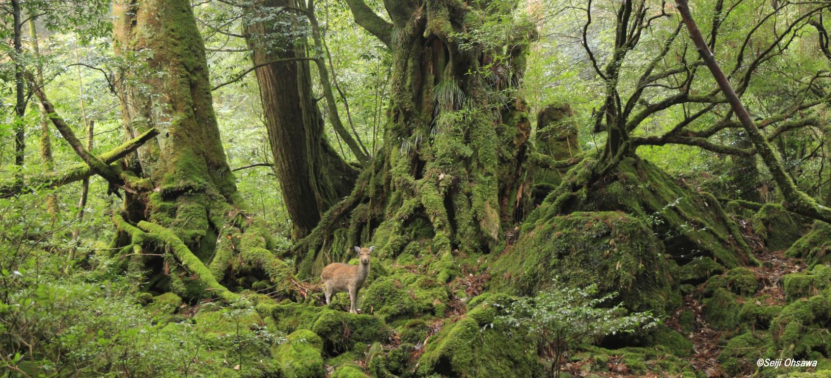
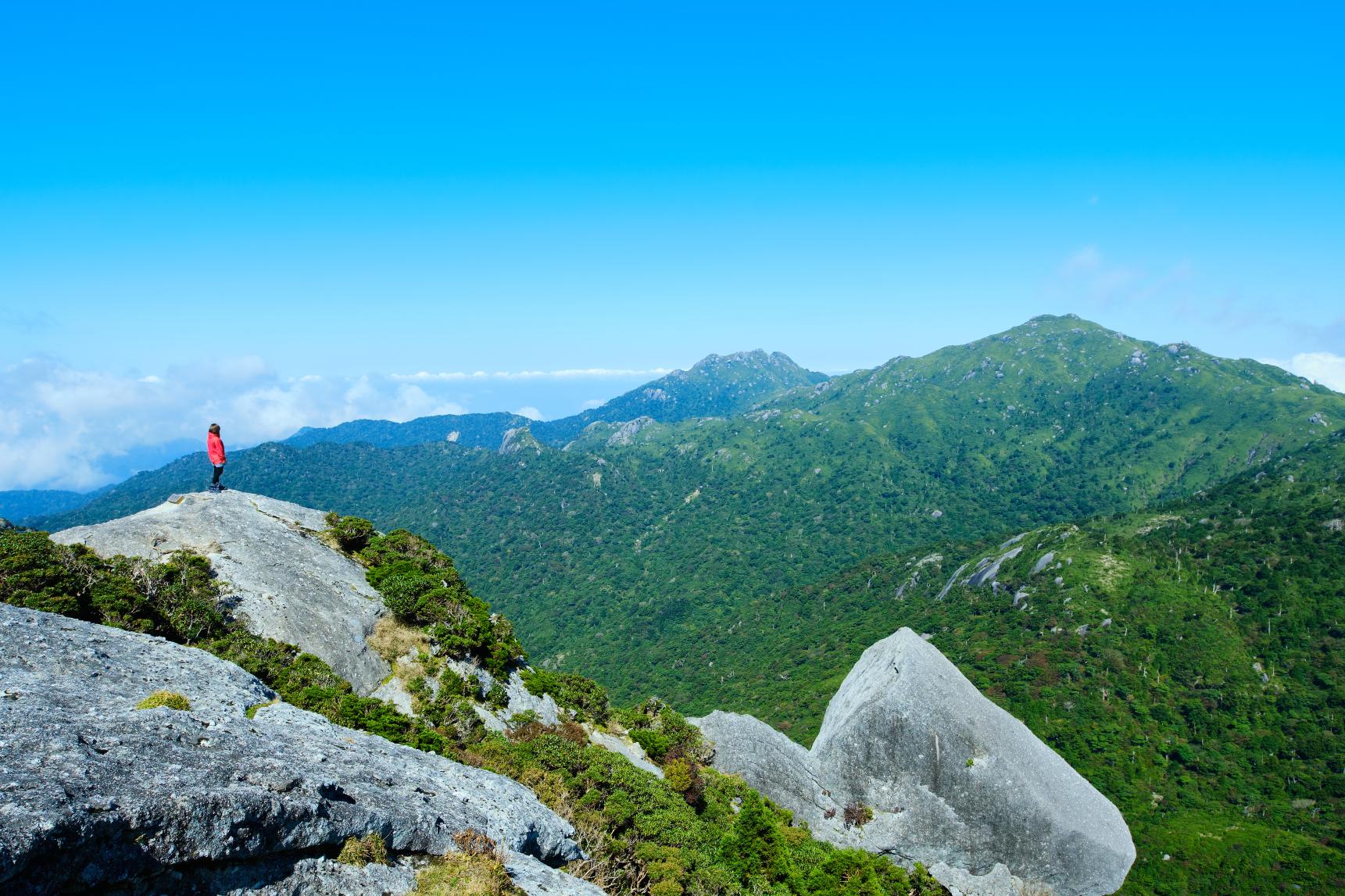
Starting from the gateway of the island, Miyanoura Port, the Yakushima Route leads anticlockwise around the island. Run the full gamut of Yakushima's attractions, from 1,800 m mountains to majestic waterfalls and beautiful beaches visited by sea turtles.
Route features (2)
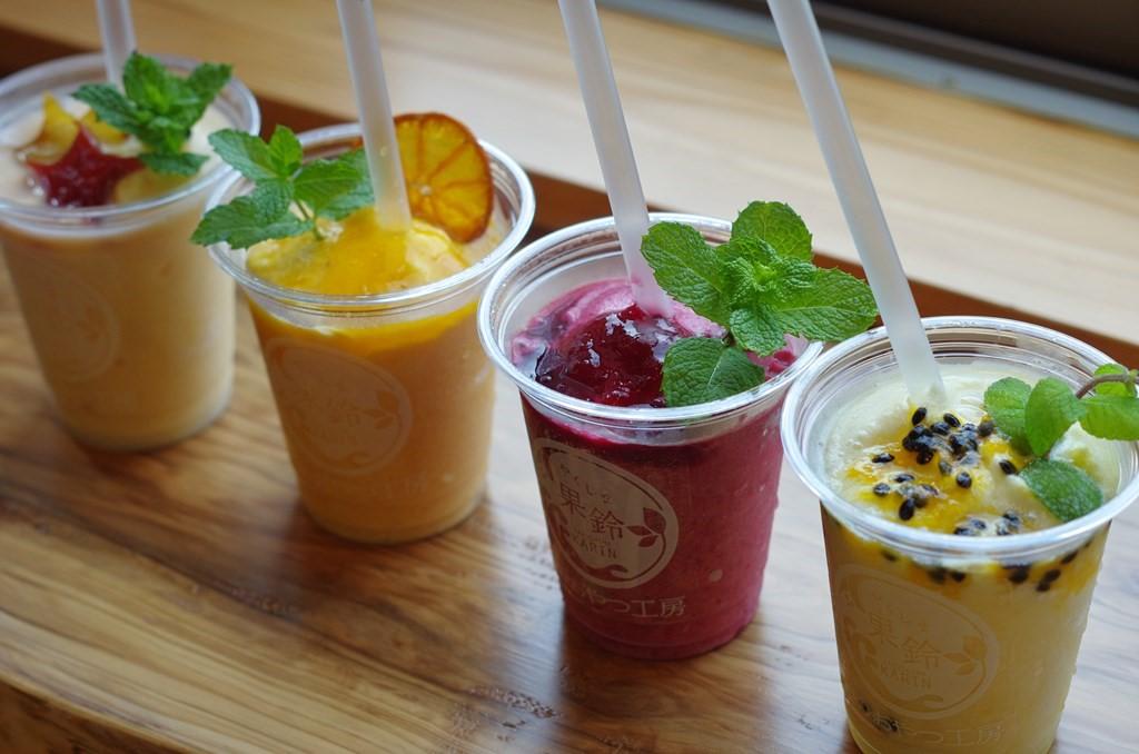
Spend some time relaxing at a café to enjoy a smoothie or gelato using the fresh fruits of Yakushima such as mango, southern mandarin oranges and passionfruit.
Check the exact route on the map
Course data
| Departure/Arrrival point | Start: Miyanoura Port, Finish: Miyanoura Port Anticlockwise circular route |
| Distance | Approximately 97.7 km |
| Elevation gain | Approximately 2,171 m |
Sights on the route and information about food
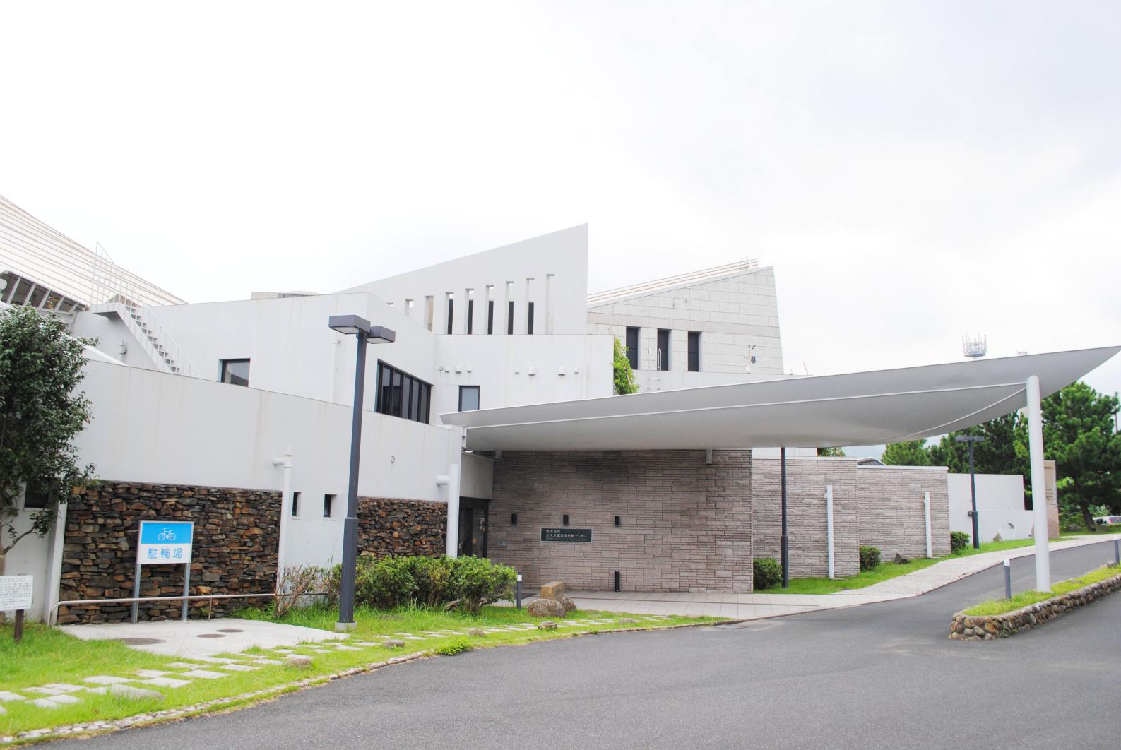
Yakushima Environmental and Cultural Village Center
A visitor center to learn about the nature and culture of Yakushima. You will gain a deeper appreciation of your trip to the island if you begin by picking up information here. Also watch films made with aerial photography that will transport you. There is a stall selling Yakushima products too.
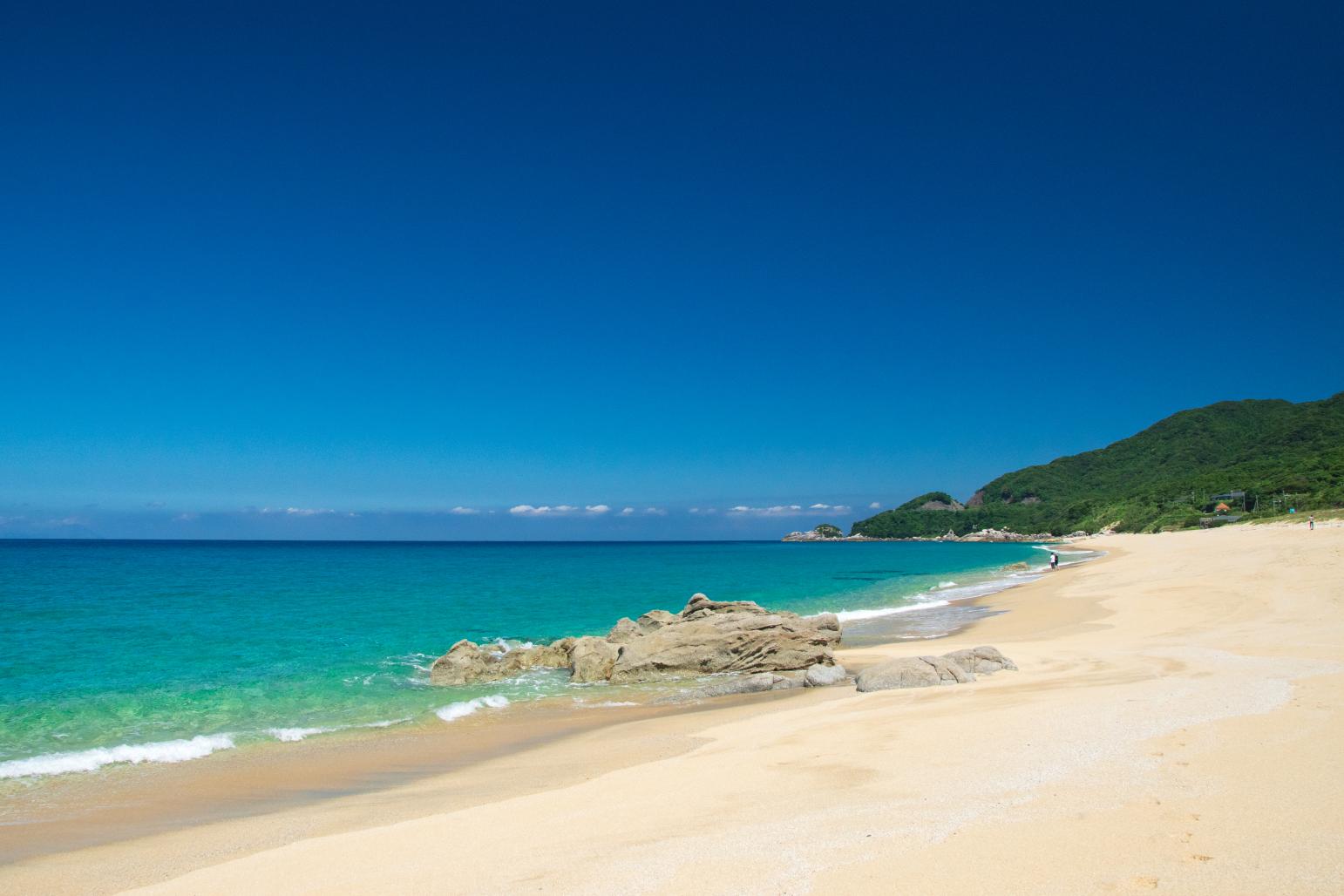
Nagata Inakahama Beach
The biggest beach on Yakushima is a white sand stunner. It is famous for its nesting turtles. During the egg laying and hatching season (May 1 to August 31) and at night (19:30-5:00), you are not permitted to enter the beach. This is also the last toilet stop before the start of the Seibu Rindo forest trail.
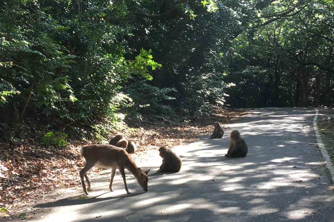
Seibu Rindo
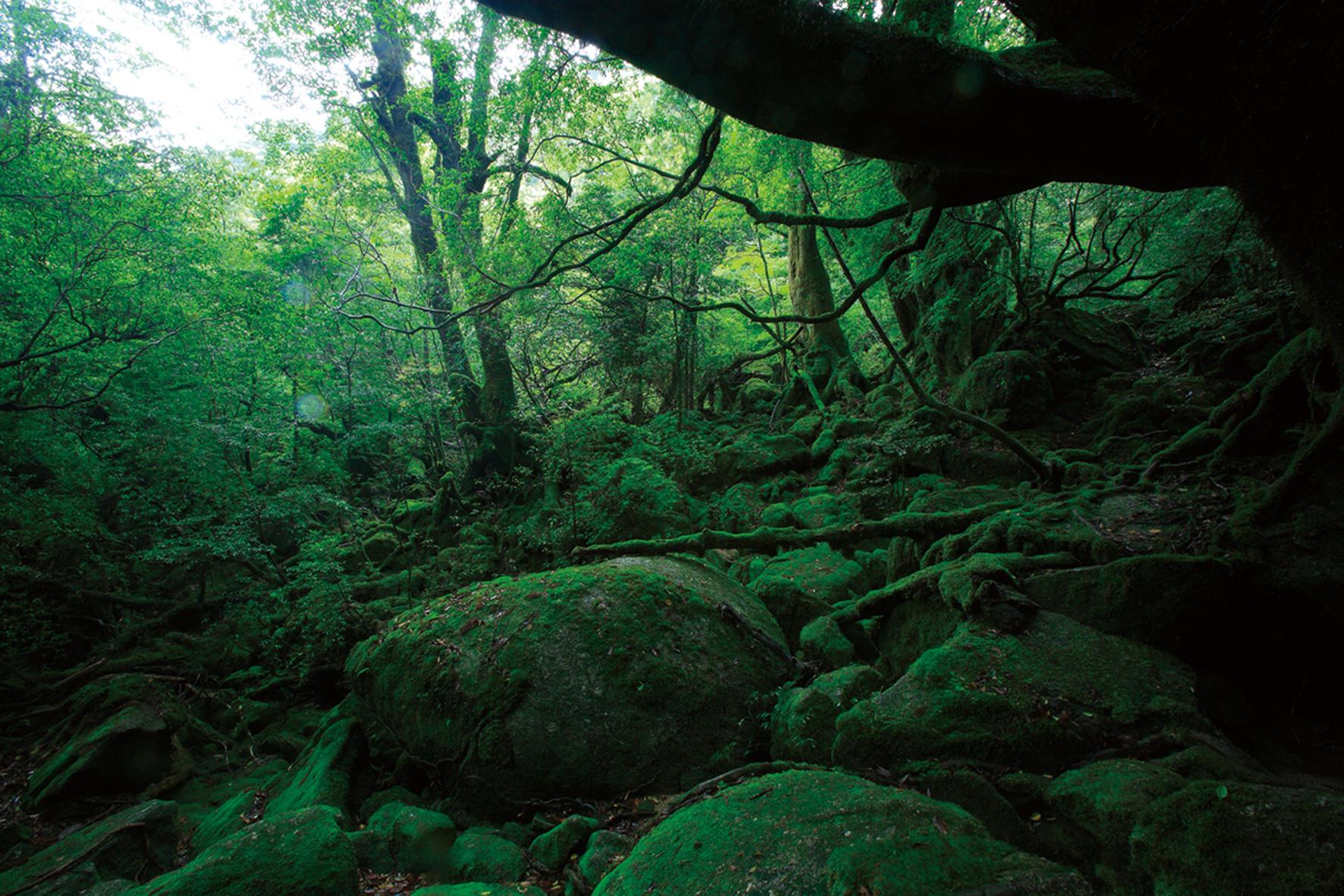
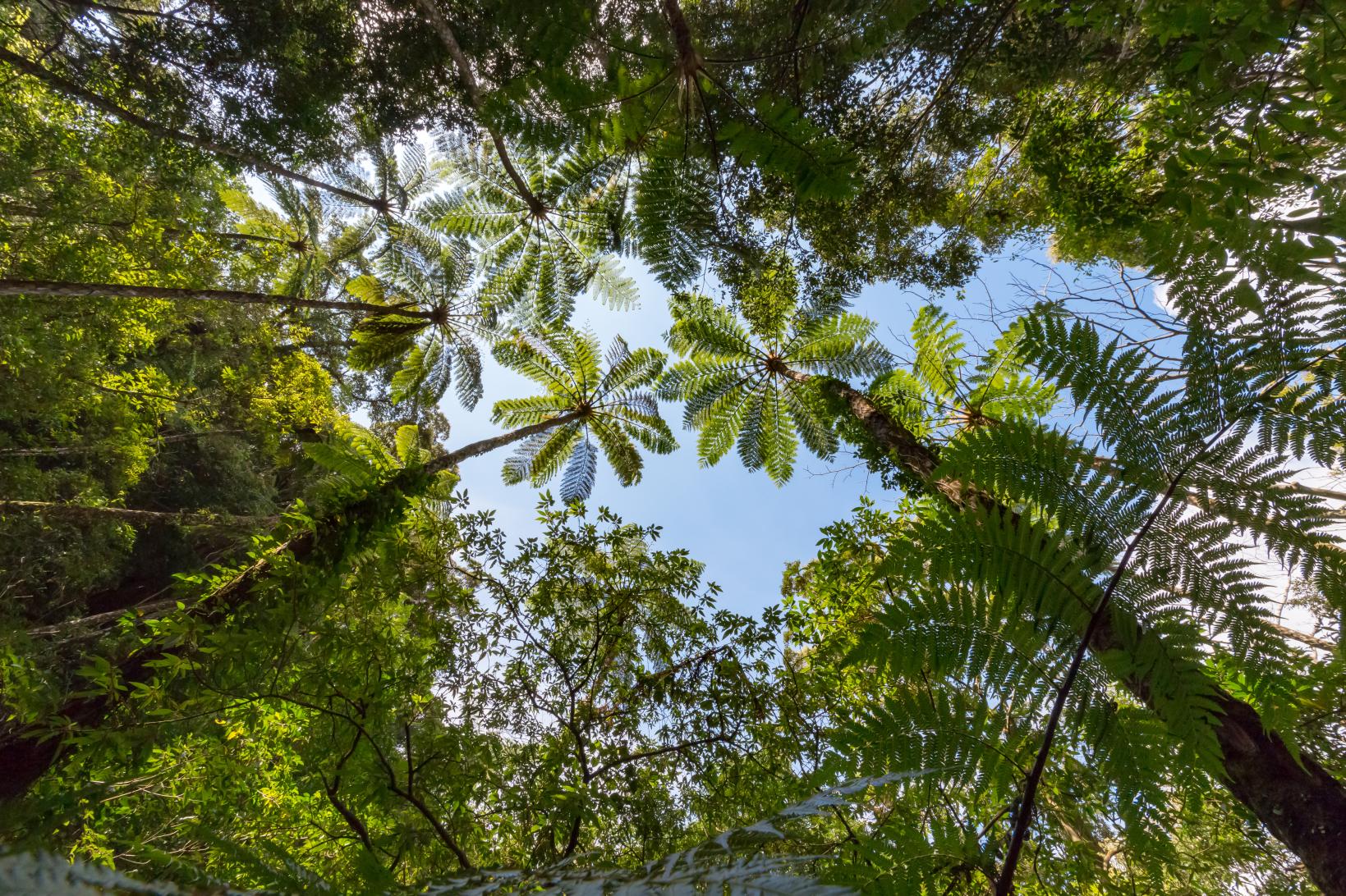
An about 17 km road following the coastline from Yakushima Lighthouse to Oko Waterfall. It enters one of Japan's biggest broadleaf forests, with a 15 km stretch within the UNESCO World Heritage area. Wild Yakushima macaques and Yakushima deer may appear, but just observe: do not give food or approach the animals. Ride carefully following the numbered curve mirrors (1-79).
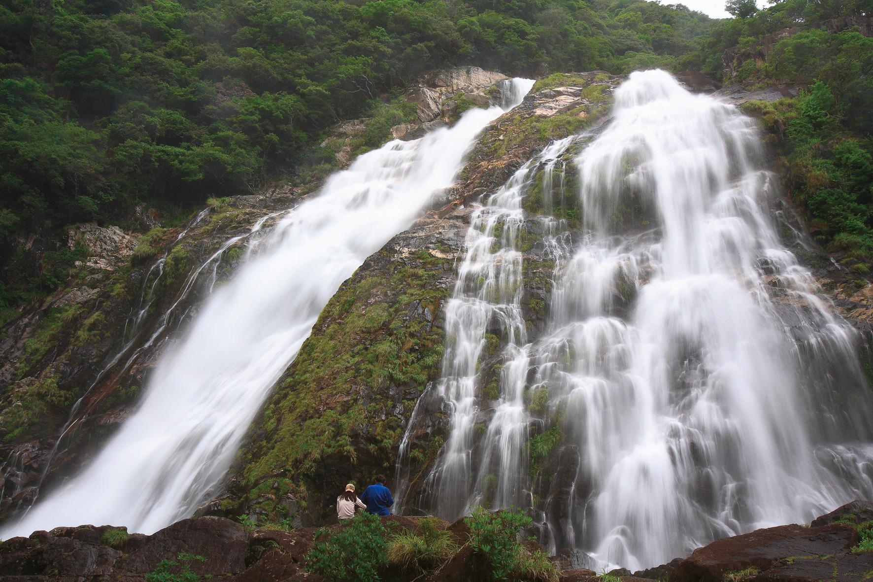
Oko Waterfall
The biggest waterfall on Yakushima is considered one of the top 100 waterfalls in Japan. As it is possible to walk right up to the plunge pool, you can make the most of the minus-ion producing mist amid the roar of an 88 m fall.
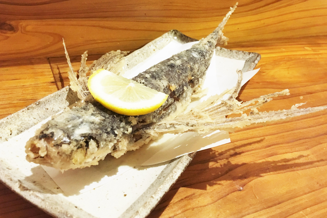
Flying fish dishes
Yakushima is Japan's number one in flying fish production. It is cooked in myriad ways, such as fresh sashimi, whole deep fried, chopped kabayaki flying fish on rice or with pasta. It is a delicacy you must try here.
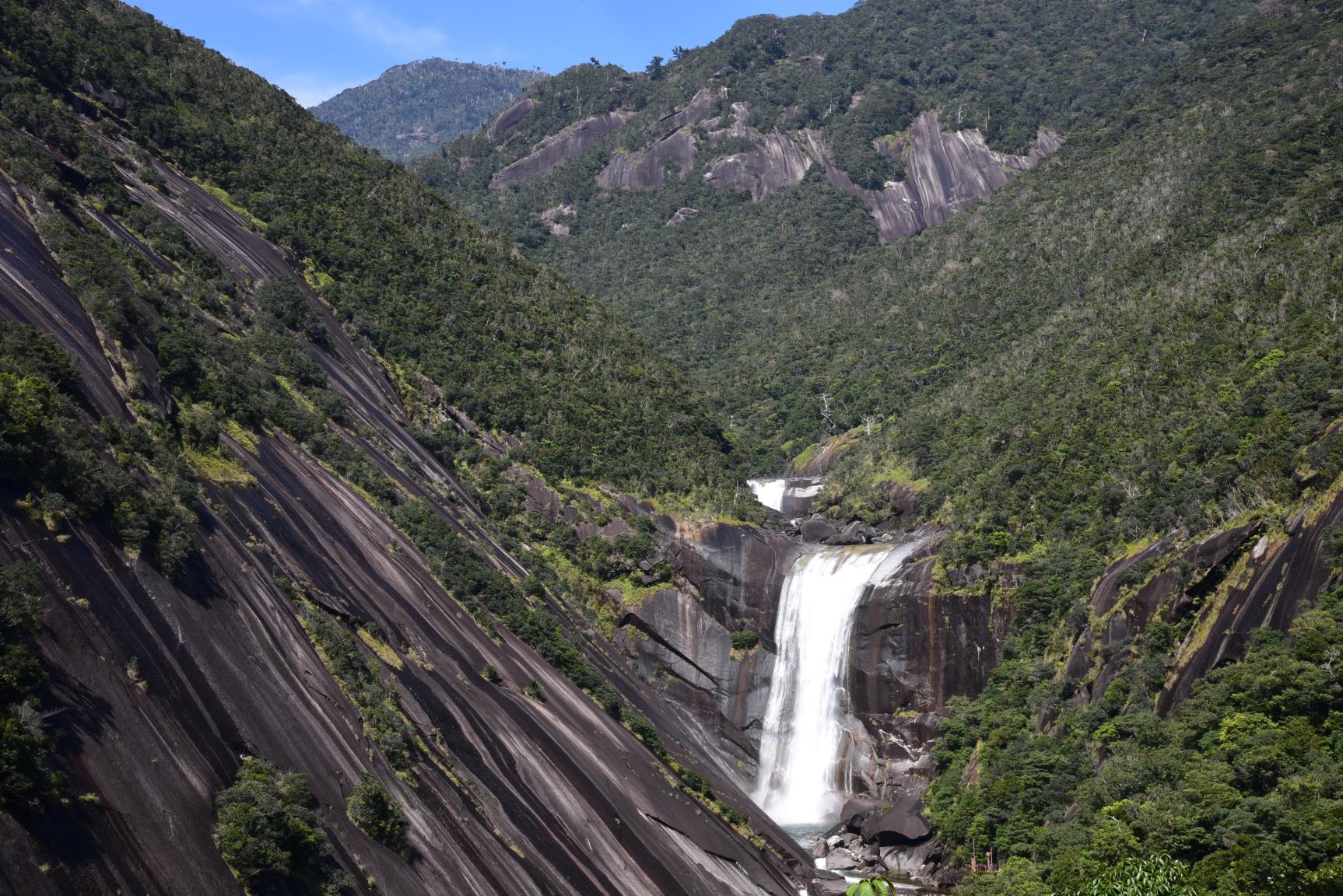
Senpiro Falls
A dynamic waterfall tipping over a 60 m drop in a beautiful V-shaped valley. To the left of the fall is a granite boulder so big, it is said that 1000 people could barely reach around it - which is where the name Senpiro ("thousand arm spans") comes from. This makes an ideal rest stop as the observation point carpark is large and equipped with toilets.
Enjoy more! Useful cycling information
- Cycling Yakushima (cycling event)
- Tashiro Bekkan Original Cycling & Walking Map (Tashiro Bekkan, Yakushima)
Contents
Cycle beautiful Kagoshima Top
Where to ride? Recommended cycle routes
01) Nansatsu route (Nansatsu area)
02) North Satsuma Route (Northern Satsuma Area)
03) Koshikishima route (Northern Satsuma area)
04) Sendai River Basin Route (Northern Satsuma Area)
05) Kirishima・Aira route (Kirishima・Aira area)
06) Osumi Route (Osumi Area)
08) Tanegashima Route (Kumage Area)
09) Yakushima route (Kumage area)
10) Amami Oshima route (Oshima area)
11) Kikaijima route (Oshima area)
12) Tokunoshima route (Oshima area)
13) Okinoerabujima route (Oshima area)
14) Yoron Island route (Oshima area)
Cycling information
■ Contact information For inquiries
About cycle tourism, please contact the following
Kagoshima Prefecture Tourism, Culture and Sports Department PR Tourism Division
10-1 Kamoike Shinmachi,
Kagoshima City
Phone: 099-286-3045
Most popular
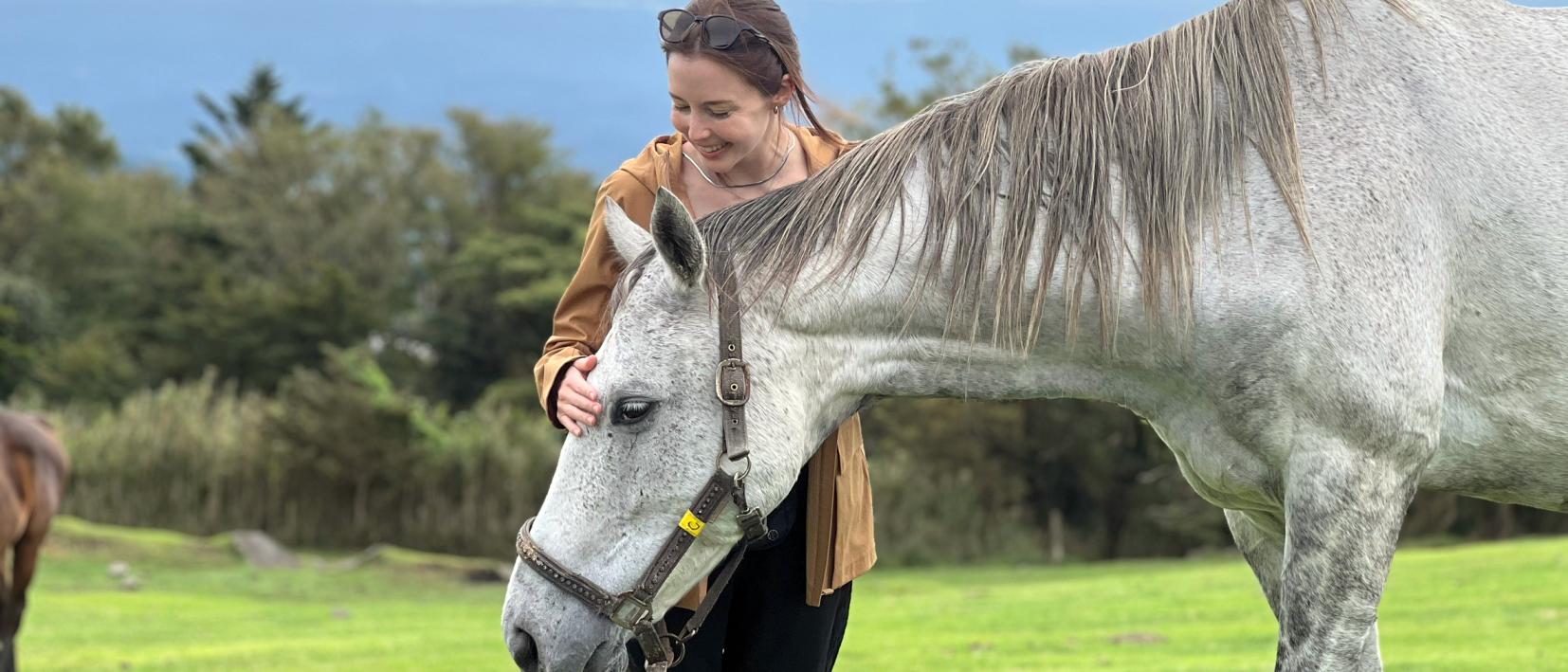
Re-Wild Kagoshima: The ultimate healing experience of interacting with the “Happy Horses”
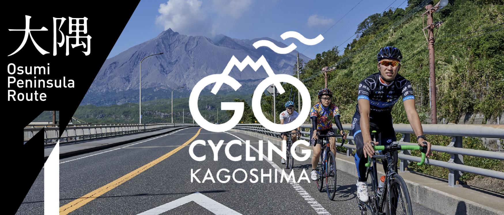
Now is the time for a bike trip! Cycle beautiful Kagoshima
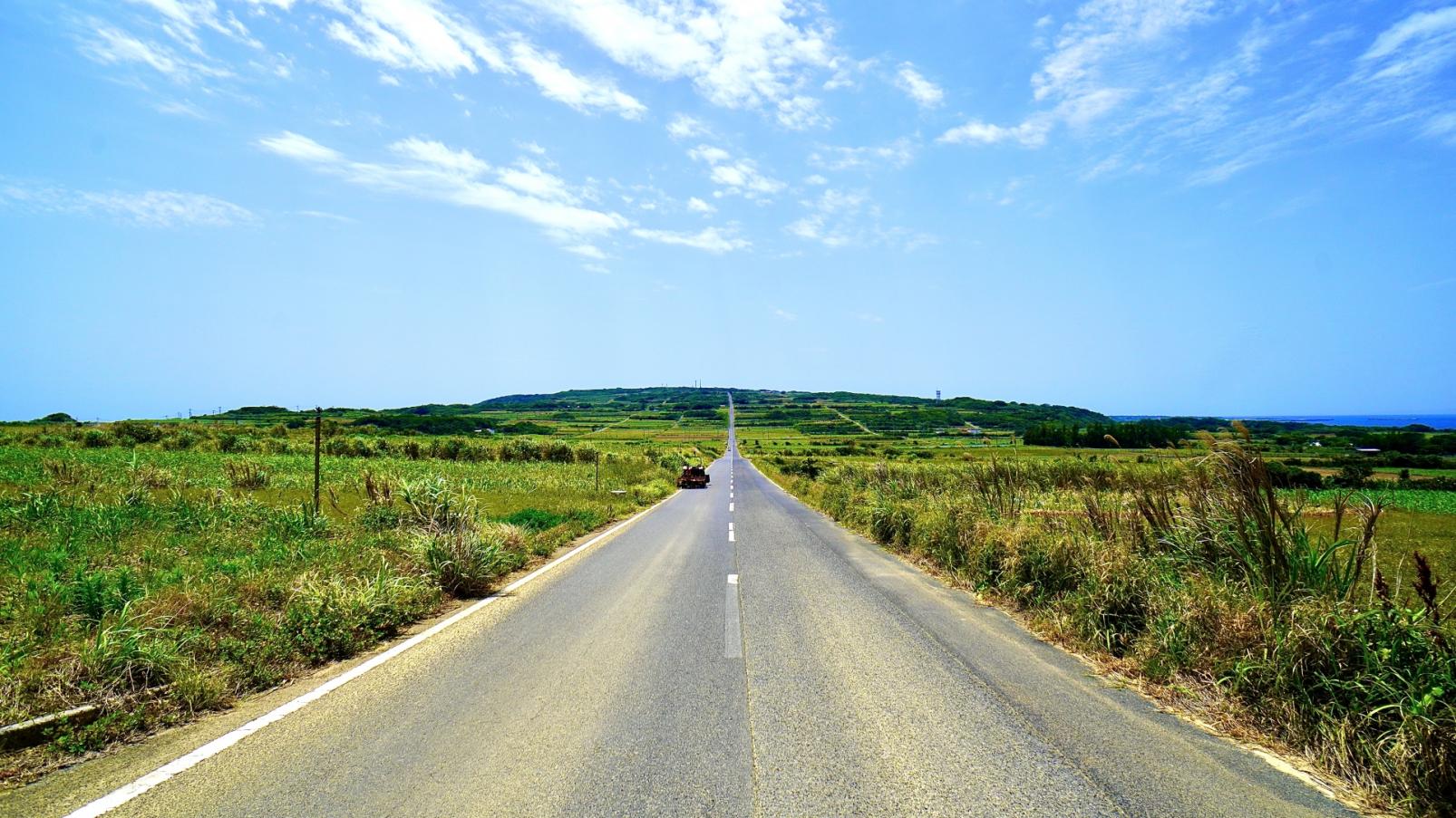
Kikaijima Course, an island where mysterious giant banyan trees and butterflies dance
Yoron Island course that heals you on the white sandy beach
Enjoy Dynamic Nature and Rich Food! Osumi Route


