We use cookies on this site to enhance your user experience. If you continue to browse, you accept the use of cookies on our site. See our cookies policy for more information.
Features of the Tanegashima Route
Route features (1)
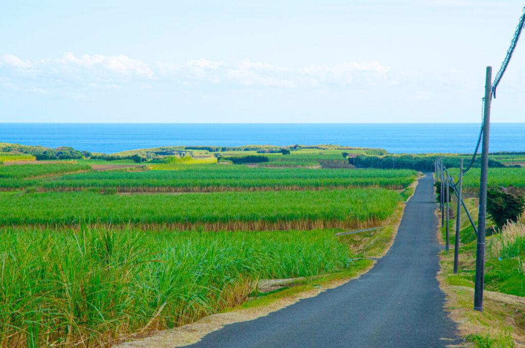
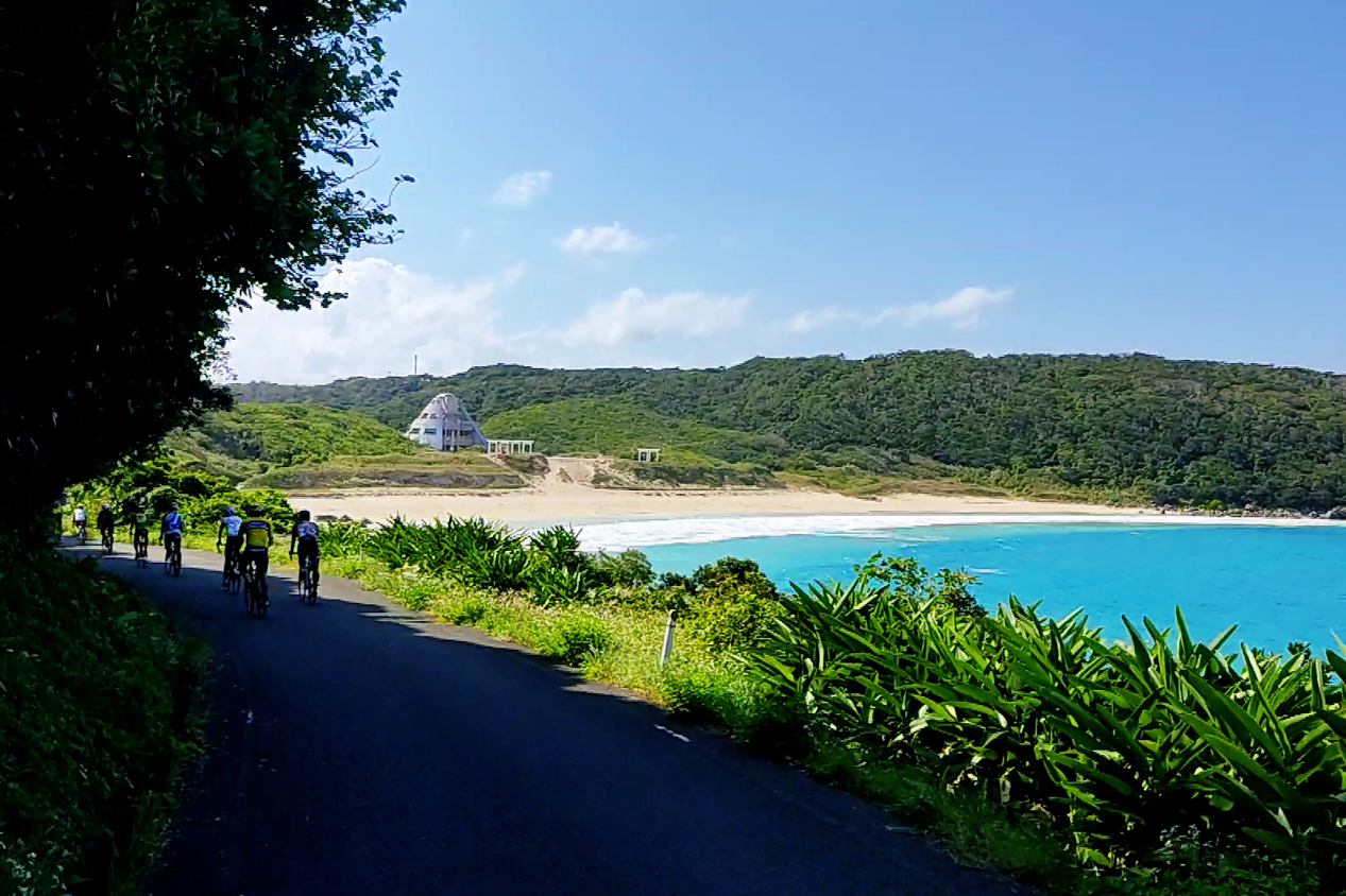
Starting out from the gateway to the island, Nishinoomote Port, this route runs in an anticlockwise direction. The island orients north to south, and the route crosses the island at Nakatane-cho, in the middle of Tanegashima. Feel the gentle sea breeze as you take in the beautiful beach at right, a break beloved of surfers across Japan.
Route features (2)
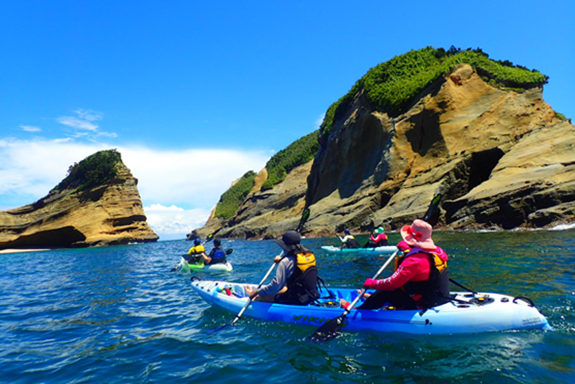
For cyclists looking for an active holiday, exclusive Tanegashima activities are recommended. You can enjoy marine sports year round on the beautiful gently-sloping beaches, such as diving, snorkelling or kayaking.
Check the exact route on the map
Course data
| Departure/Arrrival point | Start: Nishinoomote Port, Finish: Nishinoomote Port Anticlockwise circular route |
| Distance | Approximately 160.6 km |
| Elevation gain | Approximately 2,654 m |
Sights on the route and information about food
Otatsu-Metatsu Rocks
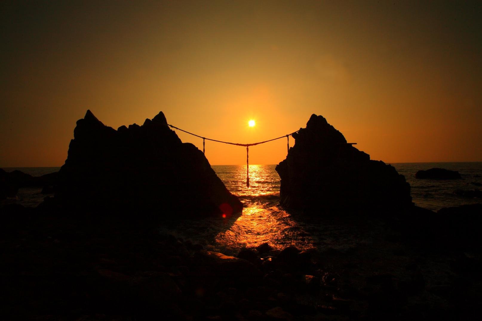
To the left, Metatsu Rock and the right, Otatsu Rock. Legend has it that one stormy night, a husband and wife were cast into the sea and reincarnated as these rocks. It is a famous spot for watching the sun dip into the East China Sea. The Ryuseikan Tourist Information Center makes a good rest spot, with gelato on offer as well as local specialities and souvenirs.
Cape Kadokura
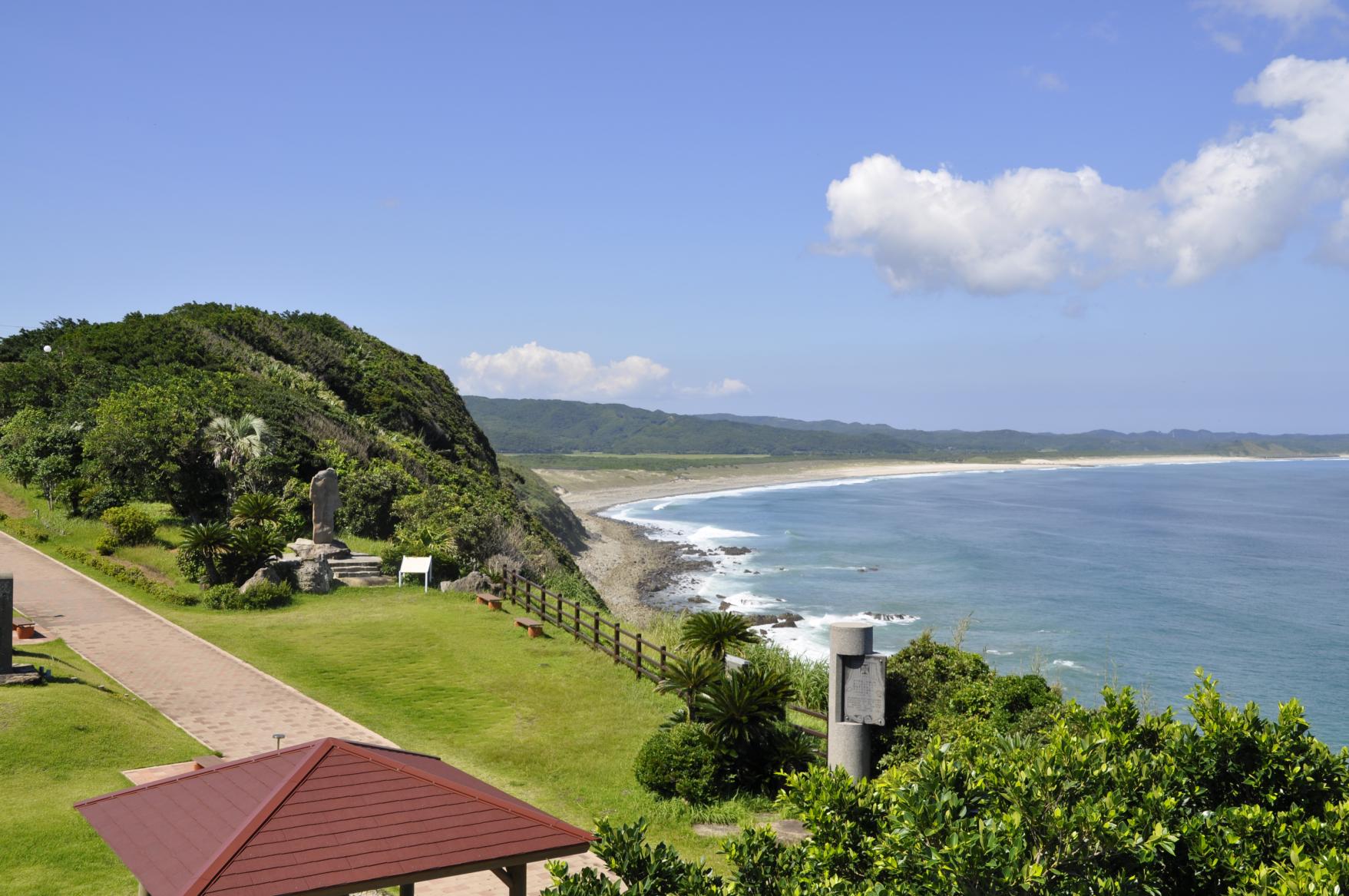
The place where guns were first brought into Japan in 1543. The cape is the southernmost point of the island and a location from where there are views to the Tanegashima Space Center and on a clear day, Yakushima. It is hard to beat taking a rest under the bower here, gazing out at the azure sea.
Space Science and Technology Museum, Tanegashima Space Center
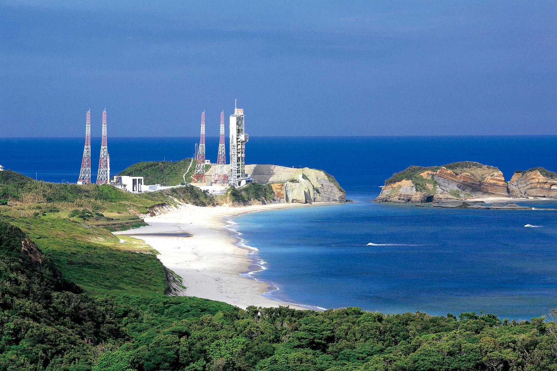
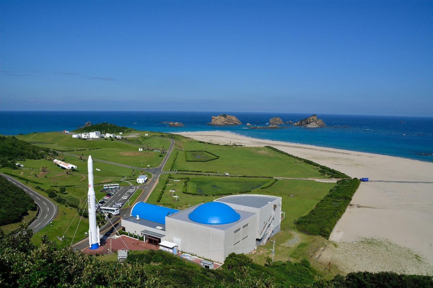
Japan's biggest rocket-launch complex covering an area of around 9.7 square kilometers. In the Space Science and Technology Center, you will find life-size rocket replicas and an audio-visual experience of takeoff. The museum shop stocks items related to rockets and space.
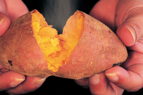
Anno potato
The Anno potato, or orange-fleshed yam, is said to have been first cultivated in the Anno district of Tanegashima. The sweet, moist texture makes the tuber highly popular. It has inspired a plethora of sweet treats, so why not take some on the ride?
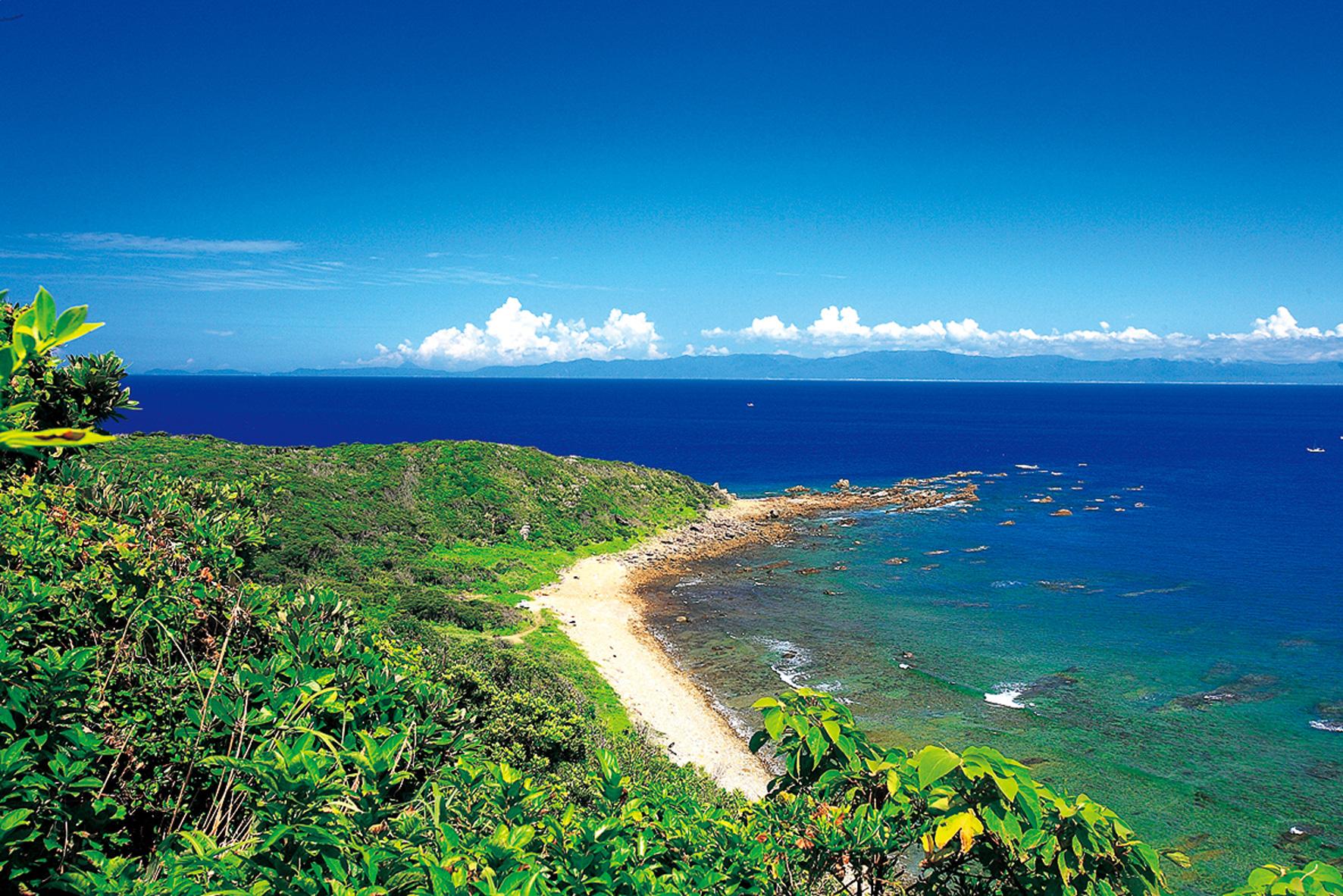
Kishigasaki Lighthouse
Once you have reached the top of the climb up to this lighthouse at the northernmost point of the island, a breathtaking panorama unfolds before you. On a clear day the mainland Osumi Peninsula is visible, and it is also possible to observe rockets launched from the JAXA Uchinoura Space Center from here.
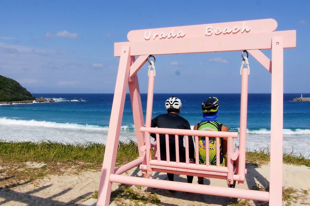
Urada Beach
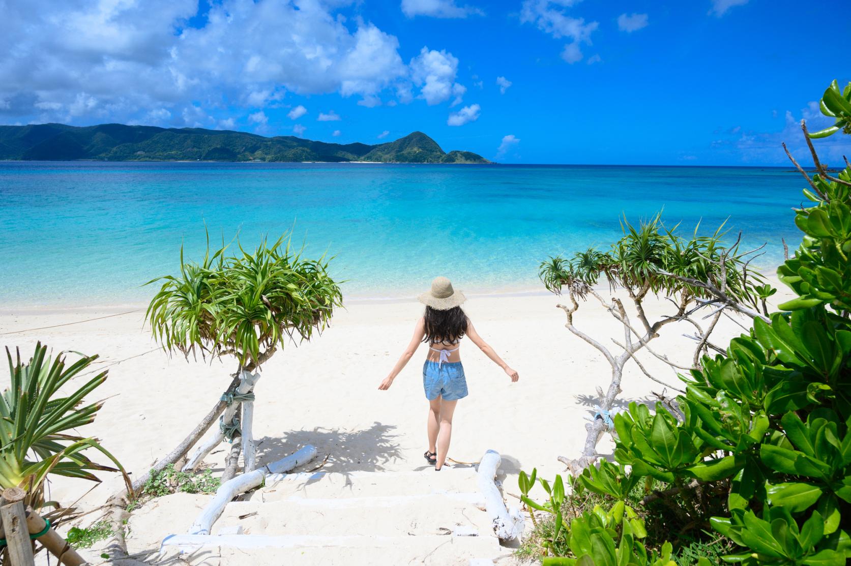
The beauty of its blue sea and white sand make this one of Japan's best 88 beaches. Camping is permitted in season, and there is also a "seaside house" complete with showers, toilets, observation deck and rest area. Do not miss the smoothie shop, which you will find by the cycle rack.
Enjoy more! Useful cycling information
Contents
Cycle beautiful Kagoshima Top
Where to ride? Recommended cycle routes
01) Nansatsu route (Nansatsu area)
02) North Satsuma Route (Northern Satsuma Area)
03) Koshikishima route (Northern Satsuma area)
04) Sendai River Basin Route (Northern Satsuma Area)
05) Kirishima・Aira route (Kirishima・Aira area)
06) Osumi Route (Osumi Area)
08) Tanegashima Route (Kumage Area)
09) Yakushima route (Kumage area)
10) Amami Oshima route (Oshima area)
11) Kikaijima route (Oshima area)
12) Tokunoshima route (Oshima area)
13) Okinoerabujima route (Oshima area)
14) Yoron Island route (Oshima area)
Cycling information
■ Contact information For inquiries
About cycle tourism, please contact the following
Kagoshima Prefecture Tourism, Culture and Sports Department PR Tourism Division
10-1 Kamoike Shinmachi,
Kagoshima City
Phone: 099-286-3045
Most popular

Re-Wild Kagoshima: The ultimate healing experience of interacting with the “Happy Horses”
Now is the time for a bike trip! Cycle beautiful Kagoshima
Kikaijima Course, an island where mysterious giant banyan trees and butterflies dance
Yoron Island course that heals you on the white sandy beach
Enjoy Dynamic Nature and Rich Food! Osumi Route


