We use cookies on this site to enhance your user experience. If you continue to browse, you accept the use of cookies on our site. See our cookies policy for more information.
Kikai Island Route
※The yellow-green part of the map is an easy-to-run course for beginners.
Course data
| Departure and arrival point | Starting point: Kikai airport, Ending point: Kikai airport |
| Mileage | 48.6km |
| Elevation gain | 425m |
Stopover spot & gourmet information
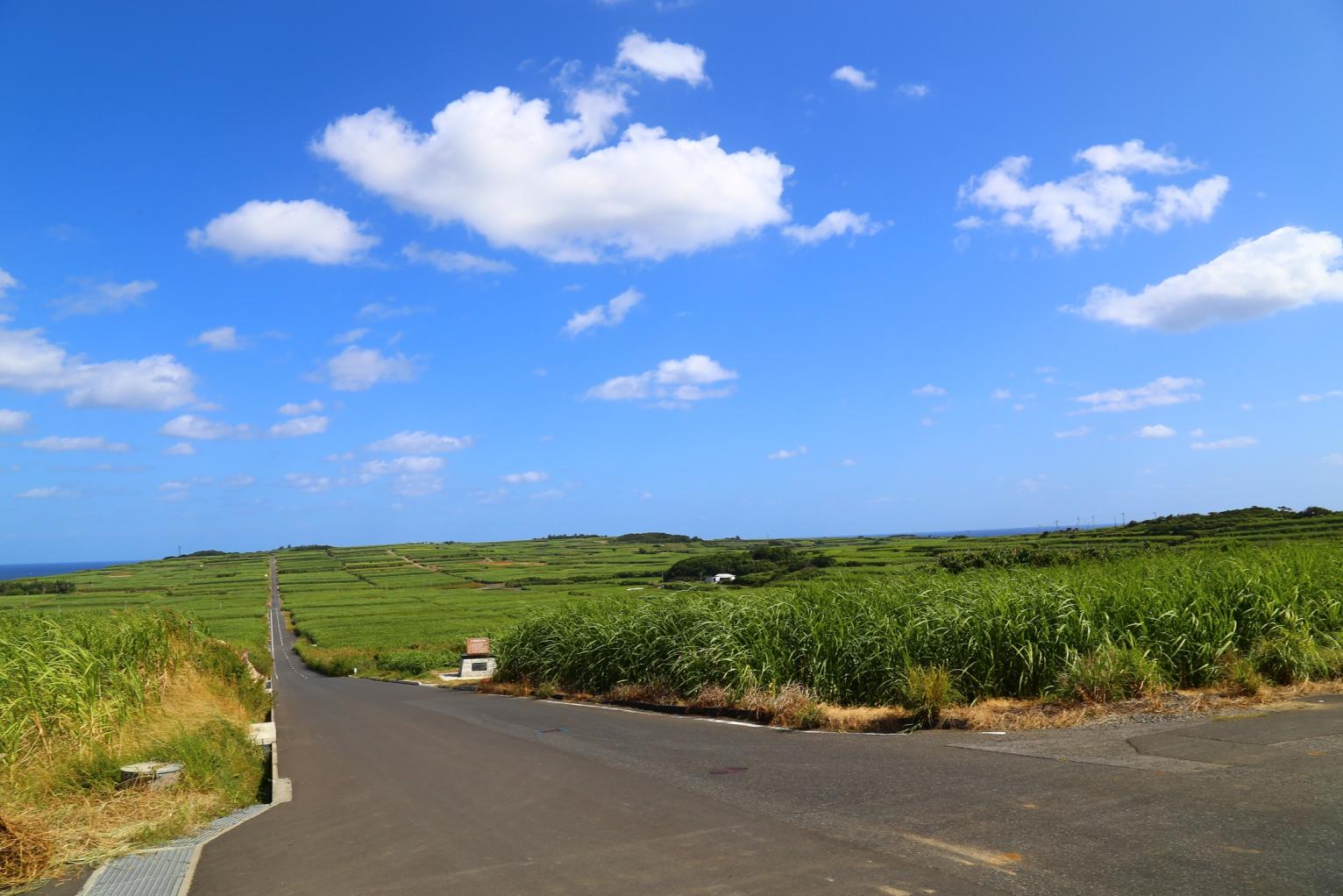
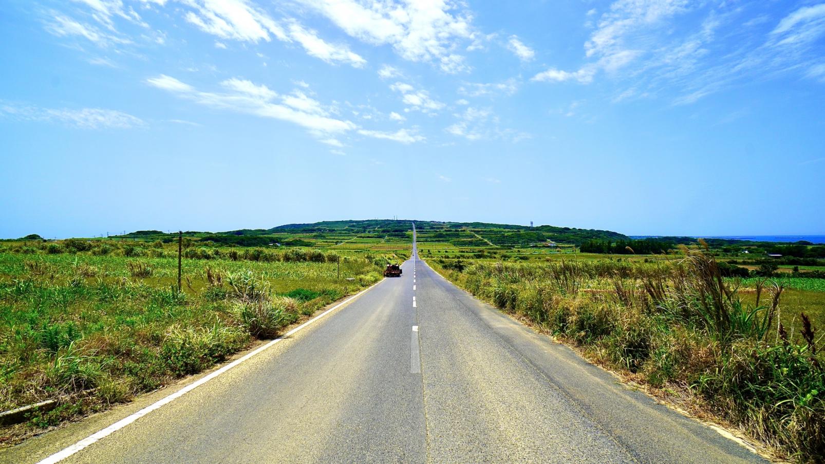
Sugar cane field road (Sugar Road)
The endless stretch of sugar cane fields, blue sky, and a 2.5km straight road that looks like it leads to the sea is a popular spot. It is also called “the road leading to the East China Sea” and is famous as a filming location for movies and television. Brown sugar made from sugarcane and brown sugar shochu are specialties of the island.
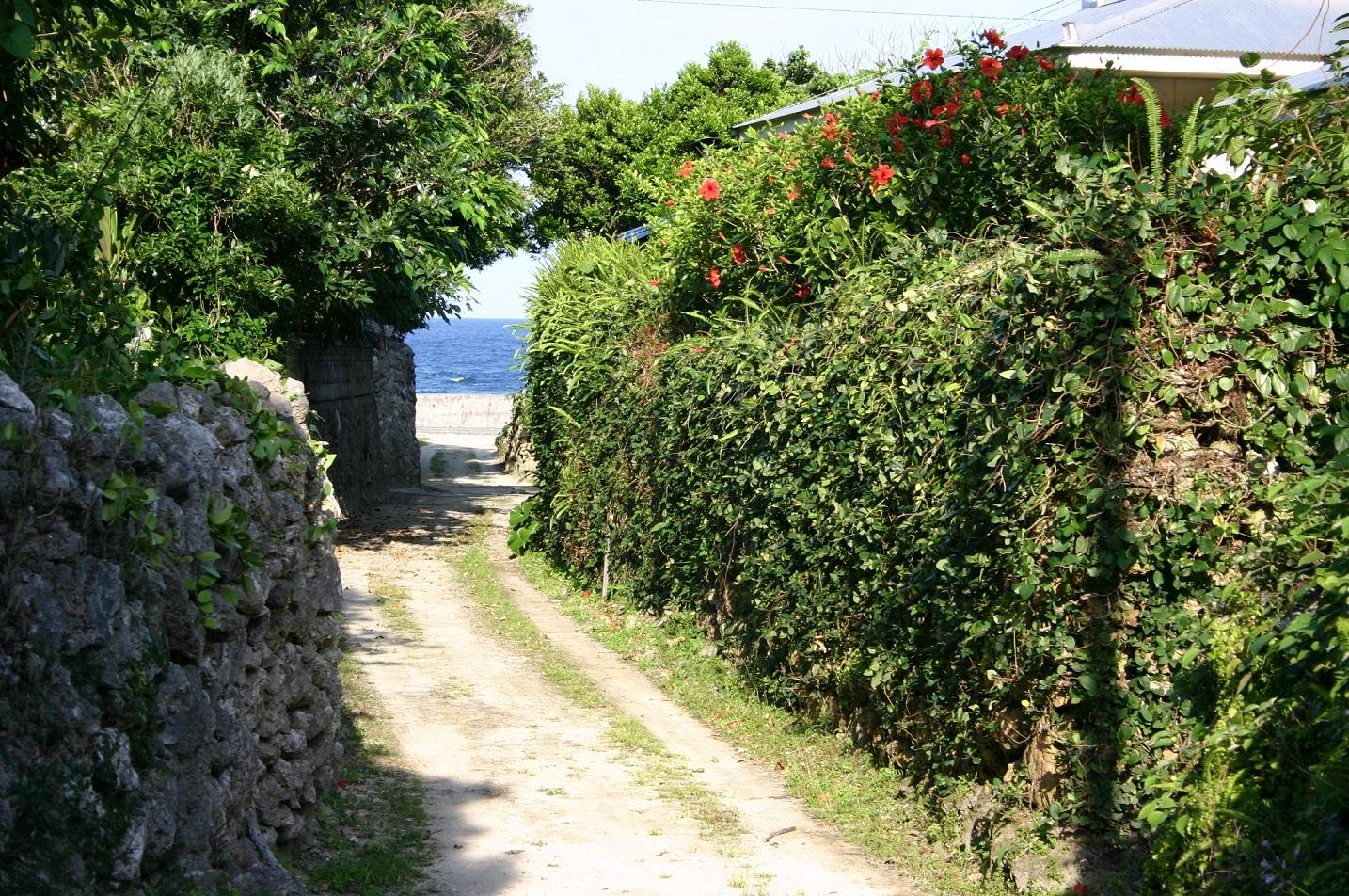
Coral stone walls of Aden Village
Aden village where many old-fashioned coral stone walls remain. High stone walls and banyan trees continue along every road in the center of the village, based on the wisdom of protecting homes unique to a land with frequent typhoons.
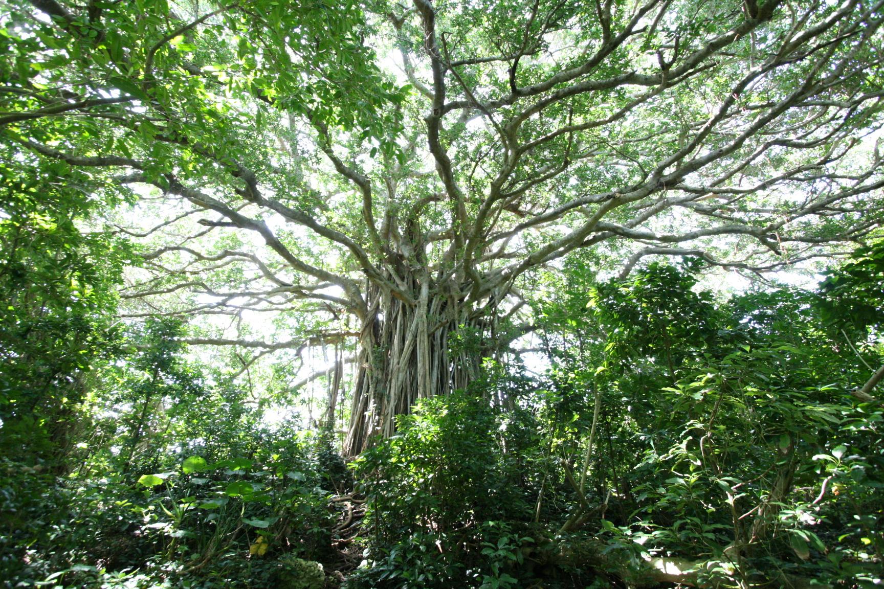
Giant banyan tree in Tekuzuku
The banyan tree, which is estimated to be over 100 years old and has a mysterious atmosphere, is 17m high, has 42m wide branches that spread out in a radial pattern, and has an overwhelming presence with a circumference of 16m. When you look up from below, you will be captivated by its majesty. The number one power spot on the island.
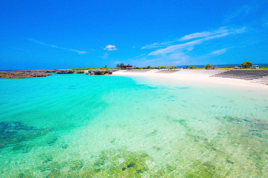
sugira beach
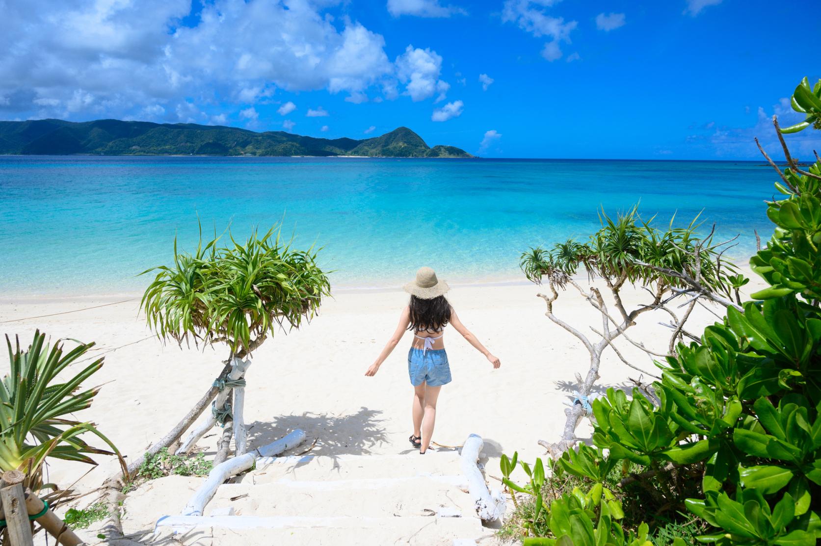
You can swim regardless of the ebb and flow of the tide. Tropical fish swim in the 250-meter-long white sandy beach and the crystal clear waters, and not only sea bathing but also marine sports such as SUP are popular. It is also a scenic spot where you can see the beautiful sunset.
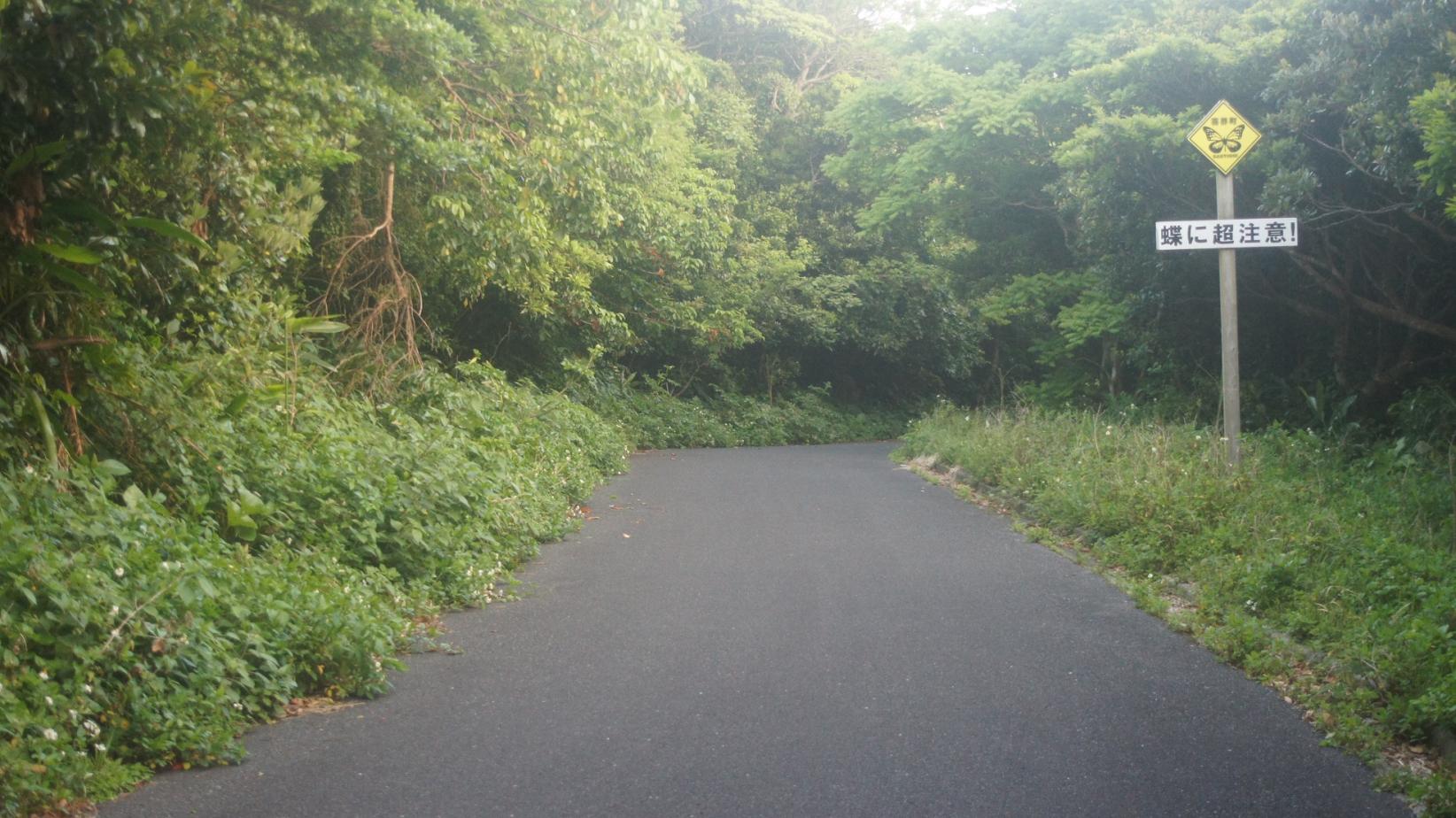
butterfly road
It is located near the Hyakunodai National Park Observatory, and is marked by a sign that reads "Be very careful of butterflies!" A large number of Chestnut Tiger butterflies come flying northward in May to June and southward in October to November.
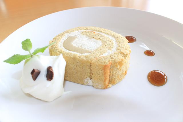
Yui Cafe
Located in the town's "Agricultural Product Processing and Sales Facility", this cafe is a place where you can take a break while shopping for special products and enjoying the process scenery. You can enjoy a menu that is particular about “Kikaijima products”, such as cakes using sesame and brown sugar produced on the island, as well as native orange juice and vegetable soup.
Photo courtesy of: Kikai Town Office
Table of contents
Cycle beautiful Kagoshima Top
Where to ride? Recommended cycle routes
01) Nansatsu route (Nansatsu area)
02) North Satsuma Route (Northern Satsuma Area)
03) Koshikishima route (Northern Satsuma area)
04) Sendai River Basin Route (Northern Satsuma Area)
05) Kirishima・Aira route (Kirishima・Aira area)
06) Osumi Route (Osumi Area)
08) Tanegashima Route (Kumage Area)
09) Yakushima route (Kumage area)
10) Amami Oshima route (Oshima area)
11) Kikaijima route (Oshima area)
12) Tokunoshima route (Oshima area)
13) Okinoerabujima route (Oshima area)
14) Yoron Island route (Oshima area)
Cycling information
■ Contact information For inquiries
About cycle tourism, please contact the following
Kagoshima Prefecture Tourism, Culture and Sports Department PR Tourism Division
10-1 Kamoike Shinmachi,
Kagoshima City
Phone: 099-286-3045
Most popular
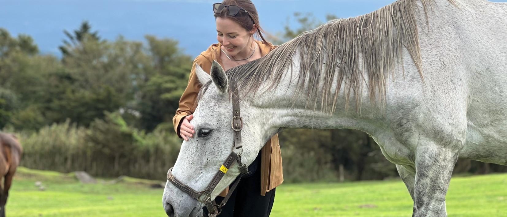
Re-Wild Kagoshima: The ultimate healing experience of interacting with the “Happy Horses”
Now is the time for a bike trip! Cycle beautiful Kagoshima
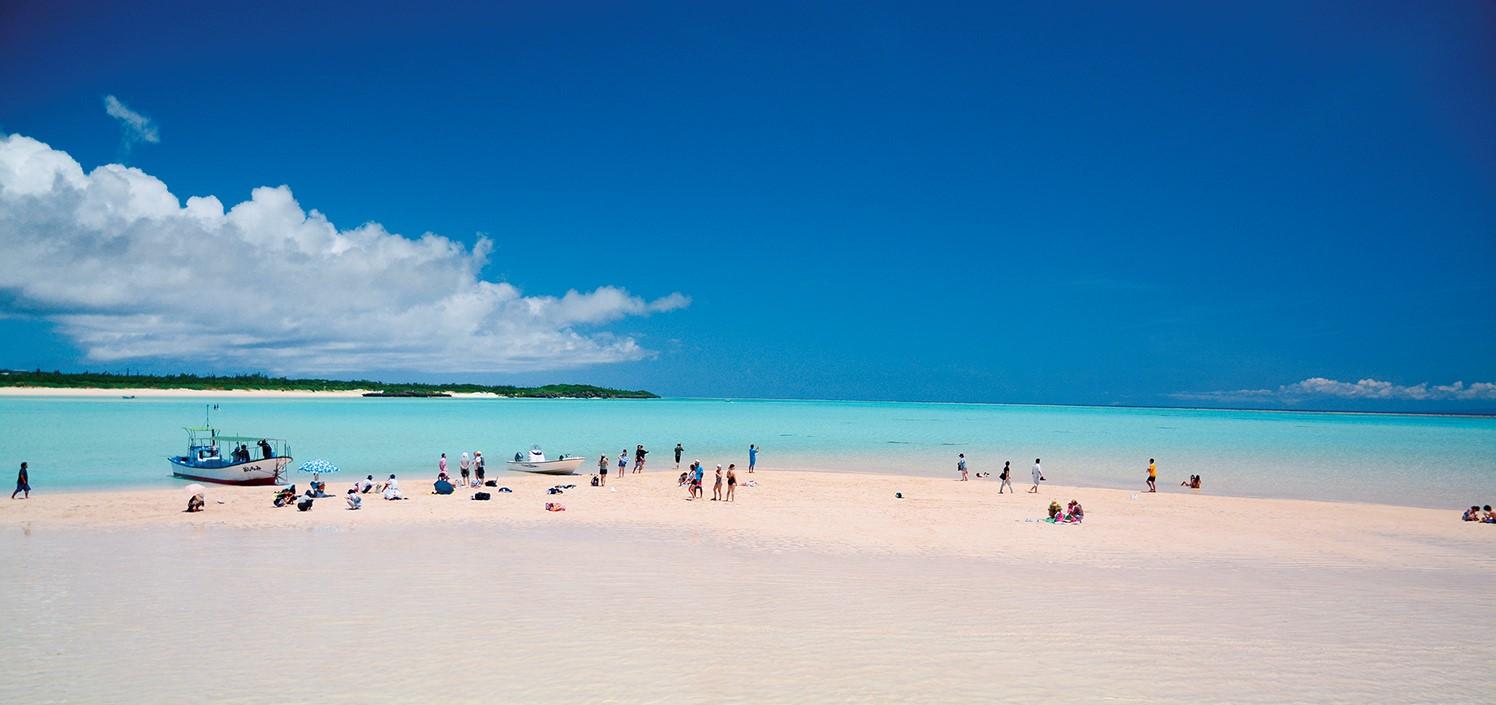
Yoron Island course that heals you on the white sandy beach
Enjoy Dynamic Nature and Rich Food! Osumi Route
Enjoy the scenery along the river that flows abundantly from the Kirishima Mountains! Sendai River Basin Route


